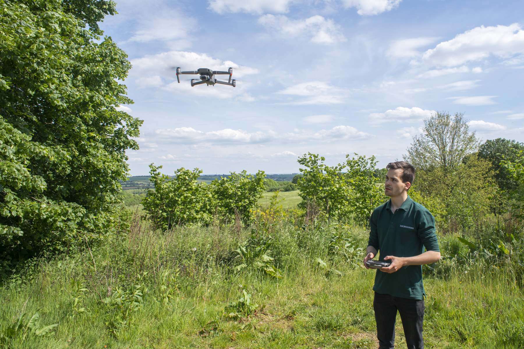
DRONE SERVICES
Nicholsons drone services enable us to quickly survey significant areas of woodland, offering a variety of purposes from woodland management to analysing tree health
Drone Services
Nicholsons offer drone services. Qualified to fly commercially with a permission for commercial operations (PfCO) from the Civil Aviation Authority. We utilise software that allows us to collate large quantities of geo referenced images into an overview of trees and woodlands. We utilise the drone for management purposes, aerial photography and tree health monitoring. The drone enables us to survey significant areas of woodland in a short duration of time.


Orthomaps
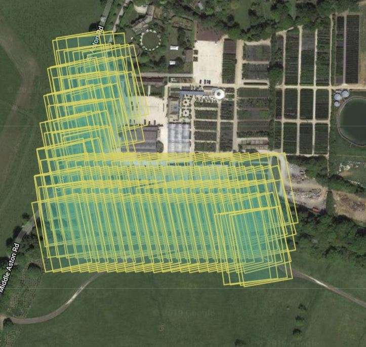
Our drone is programmed using specialist software to take hundreds of photographs. These images are then stitched together to form large and high resolution orthomaps. These orthomaps can be integrated into your GIS mapping system and used for analysis, planning and woodland management.
How can our forestry team help?
Our expert forestry team offer a wide range of services and would be happy to discuss how they can best support you.
Nicholsons is accredited by the following official organisations:
Approved contractors of the Safe-contractor scheme, Nicholsons are also accredited with CHAS and Arboricultural Association. The Company recently won an award as Cherwell Established Business of the Year 2019, as well as Oxfordshire Large Business of the Year awards 2019.