Buccleuch Properties—Kettering (Oct 2018)
Addressing the balance
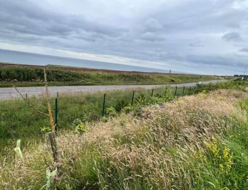
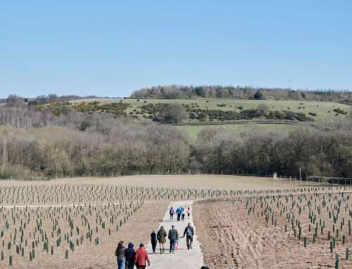
This 22 ha site, proposed for warehousing, comprised a former ironstone quarry restored to 25% woodland and 75% grassland in the 1980’s. In early consultation feedback with the planning authorities the need for ALC / soil survey was queried.
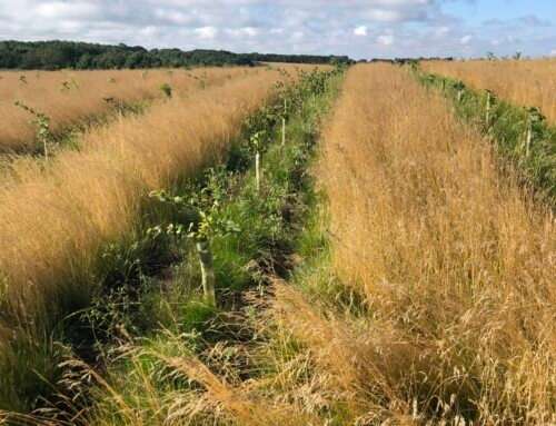
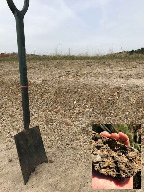
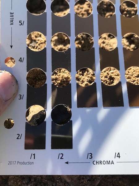
Nicholsons (Formerly Lockhart Garratt) undertook a recce inspection in Spring 2018 including 3 trial holes. This showed that the indigenous clay loam top soils had been re‐instated to 12‐18cm depth above a mixture of clays as subsoil to 30cm depth, above crushed stone fill from the quarry operation. A case was made in the pre‐application, that the restored land was likely to be a poor agricultural grade with the shallow top soil, varied texture and intermittent compaction / water logging. It was recommended that a soil resource survey covering nutrient status, pH and organic matter, would inform the soil types present and their re‐use. The survey took place in Summer 2018 to identify the suitability of materials to deliver the landscaping scheme. The Lockhart Garratt team identified and mapped 3 soil groupings: calcareous loams which were ideal for species rich grassland; organic rich soils in the woodland areas to be removed, which could be reused for woodland planting zones; higher nutrient soils with low stone content which could be used for ornamental landscaping and amenity grassland.
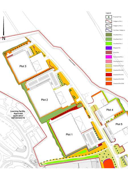
Nicholsons (Formerly Lockhart Garratt) mapped stockpile locations to minimise movement distance on re‐use and confirmed maximum placement depth and amelioration.
KEY FEATURES
- Ongoing consultation with planning authorities
- Extensive soil mapping